
Article
Measuring bluff erosion part 2: pairing aerial photographs and terrestrial laser scanning to create a watershed scale sediment budget
Earth Surface Processes and Landforms
(2013)
Abstract
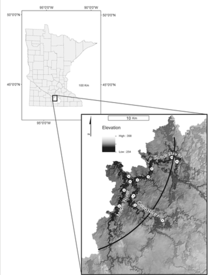
Effectively managing and reducing high suspended sediment loads in rivers requires an understanding of the magnitude of major sediment sources as well as erosion and transport processes that deliver excess fine sediments to the channel network. The focus of this research is to determine the magnitude of erosion from tall bluffs, a primary sediment source in the 2880 km2 Le Sueur watershed, Minnesota, USA. We coupled analyses of seven decades of aerial photographs with four years of repeat terrestrial laser scanning (TLS) to determine erosion rates on bluffs. Together, these datasets provide decadal-scale retreat rates throughout the entire watershed and high-resolution geomorphic change detection on a subset of bluffs to both constrain erosion rates and document how environmental conditions affect bluff retreat. Erosion rates from aerial photographs and TLS were extrapolated from 243 and 15 measured bluffs, respectively, to all 480 bluffs in the Le Sueur watershed using multiple techniques to obtain estimates of sediment loading from these features at the watershed-scale...
Disciplines
Publication Date
2013
DOI
https://doi.org/10.1002/esp.3359
Publisher Statement
DOI: 10.1002/esp.3359
Citation Information
Patrick Belmont. "Measuring bluff erosion part 2: pairing aerial photographs and terrestrial laser scanning to create a watershed scale sediment budget" Earth Surface Processes and Landforms Vol. 38 Iss. 10 (2013) p. 1068 - 1082 Available at: http://works.bepress.com/patrick_belmont/70/