Presentation
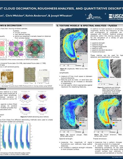
ToPCAT and PySESA : Open-source Software for point cloud decimation, roughness analysis, and quantitative description of terrestrial surfaces
American Geophysical Meeting San Francisco 2015
(2015)
Keywords
- Fluvial form,
- geomorphic interpretation
Disciplines
Publication Date
January 1, 2015
Comments
Poster
Citation Information
"ToPCAT and PySESA : Open-source Software for point cloud decimation, roughness analysis, and quantitative description of terrestrial surfaces" American Geophysical Meeting San Francisco 2015 (2015) Available at: http://works.bepress.com/joseph_wheaton/16/
