Contribution to Book
Democratizing the Map: The Geo-body and National Cartography in Guatemala, 1821–2010
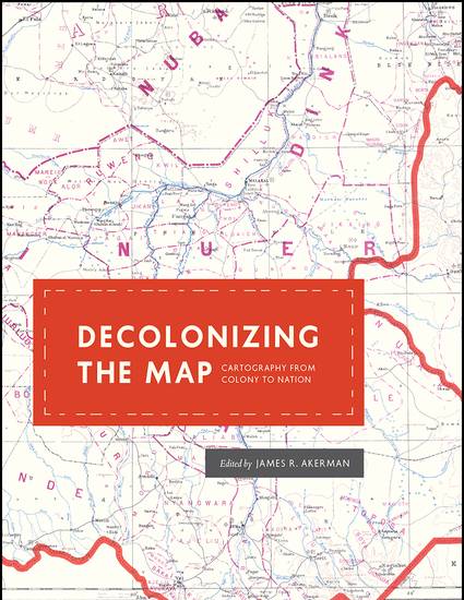
Decolonizing the Map Cartography from Colony to Nation
(2017)
Abstract
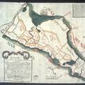
This essay explores the long and complex process of establishing Guatemala's national geo-body and map, and the equally long experience of presenting and teaching them. It begins with the establishment of the state in 1825, follows a long nineteenth century of establishing and marking international boundaries and internal political and administrative divisions, and concludes in the twenty-first century as different groups adopt the competing geo-body territories and peoples, seemingly unconsciously, to establish their own claims to belong to and participate in Guatemalan debate and development. I argue that over these two hundred years, a two-step process of "decolonization" and "democratization" shaped the national territorial map. For Guatemala, decolonization occurred in two phases as the government identified land and people over which it claimed sovereignty, successfully administer them, and develop the ability to represent that claim cartographically. For the map to be fully decolonized, I suggest, the government must both create national maps and employ national agents and institutions to create maps considered "accurate" or effective to both internal and external audiences. In addition, civil society must also adopt and adapt representations of the geo-body in more popular cartography for it to be "democratized".
Keywords
- history of cartography,
- maps and society,
- history of central america,
- central american studies,
- guatemala,
- decolonization,
- popular cartography,
- boundaries
Disciplines
Publication Date
2017
Editor
Jim Akerman
Publisher
University of Chicago Press
ISBN
9780226422787
Publisher Statement
Almost universally, newly independent states seek to affirm their independence and identity by making the production of new maps and atlases a top priority. For formerly colonized peoples, however, this process neither begins nor ends with independence, and it is rarely straightforward. Mapping their own land is fraught with a fresh set of issues: how to define and administer their territories, develop their national identity, establish their role in the community of nations, and more. The contributors to Decolonizing the Map explore this complicated relationship between mapping and decolonization while engaging with recent theoretical debates about the nature of decolonization itself.
These essays, originally delivered as the 2010 Kenneth Nebenzahl, Jr., Lectures in the History of Cartography at the Newberry Library, encompass more than two centuries and three continents—Latin America, Africa, and Asia. Ranging from the late eighteenth century through the mid-twentieth, contributors study topics from mapping and national identity in late colonial Mexico to the enduring complications created by the partition of British India and the racialized organization of space in apartheid and post-apartheid South Africa. A vital contribution to studies of both colonization and cartography, Decolonizing the Map is the first book to systematically and comprehensively examine the engagement of mapping in the long—and clearly unfinished—parallel processes of decolonization and nation building in the modern world.
Citation Information
Jordana Dym. "Democratizing the Map: The Geo-body and National Cartography in Guatemala, 1821–2010" ChicagoDecolonizing the Map Cartography from Colony to Nation (2017) p. 160 - 204 Available at: http://works.bepress.com/jordana_dym/26/