Article
Using map algebra to determine the mesoscale distribution of invasive plants: the case of Celastrus orbiculatus in Southern Illinois, USA
Biological Invasions
(2007)
Abstract
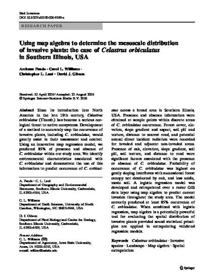
Since its introduction into North America in the late 19th century, Celastrus orbiculatus(Thumb.) has become a serious ecological threat to native ecosystems. Development of a method to accurately map the occurrence of invasive plants, including C. orbiculatus, would greatly assist in their assessment and control. Using an innovative map regression model, we predicted 85% of presence and absence of C. orbiculatus within our study area. We identify environmental characteristics associated with C. orbiculatus and demonstrate the use of this information to predict occurrence of C. orbiculatus across a broad area in Southern Illinois, USA. Presence and absence information were obtained at sample points within discrete areas of C. orbiculatusoccurrence. Forest cover, elevation, slope gradient and aspect, soil pH and texture, distance to nearest road, and potential annual direct incident radiation were recorded for invaded and adjacent non-invaded areas. Presence of oak, elevation, slope gradient, soil pH, soil texture, and distance to road were significant factors associated with the presence or absence of C. orbiculatus.
Disciplines
Publication Date
2007
DOI
https://doi.org/10.1007/s10530-006-9049-x
Citation Information
Christopher L. Lant. "Using map algebra to determine the mesoscale distribution of invasive plants: the case of Celastrus orbiculatus in Southern Illinois, USA" Biological Invasions Vol. 9 Iss. 4 (2007) p. 419 - 431 Available at: http://works.bepress.com/christopher_lant/193/
