
Presentation
Planning And Design For Healthy Child Development: Mapping Places Of Play And Prey With Denver Kids
Rocky Mountain Land Use Institute Conference
(2007)
Abstract
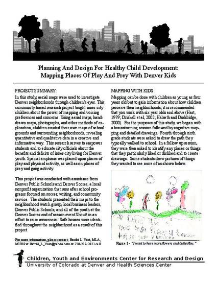
In this study, aerial maps were used to investigate Denver neighborhoods through children’s eyes. This
community-based research project taught inner-city children about the power of mapping and voicing
preferences and concerns. Using aerial maps, handdrawn maps, photographs, and other methods of exploration,
children created their own maps of school grounds and surrounding neighborhoods, revealing quantitative and qualitative data in a creative and informative way. This research serves to empower students and to educate city officials about the benefits and deficits of inner-city living for Denver youth. Special emphasis was placed upon places of play and physical activity, as well as on places of prey and gang activity.
Disciplines
Publication Date
March, 2007
Location
Denver, Colorado
Comments
This is a proceeding from Rocky Mountain Land Use Institute Conference, Denver, Co, March 2007. Posted with permission.
Citation Information
Bambi L Yost. "Planning And Design For Healthy Child Development: Mapping Places Of Play And Prey With Denver Kids" Rocky Mountain Land Use Institute Conference (2007) Available at: http://works.bepress.com/bambi_yost/9/