
Presentation
Mobile GIS and Archaeological Survey
Archaeological Sciences of the Americas conference, University of Arizona
(2004)
Abstract
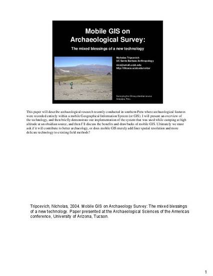
This paper will describe archaeological research recently conducted in southern Peru where archaeological features were recorded entirely within a mobile Geographical Information System (or GIS). I will present an overview of the technology, and then briefly demonstrate our implementation of the system that was used while camping at high altitude at an obsidian source, and then I’ll discuss the benefits and drawbacks of mobile GIS. Ultimately we must ask if it will contribute to better archaeology, or does mobile GIS merely add finer spatial resolution and more delicate technology to existing field methods?
Keywords
- mobile GIS visualization field work wearable
Disciplines
Publication Date
September, 2004
Citation Information
Nicholas Tripcevich. "Mobile GIS and Archaeological Survey" Archaeological Sciences of the Americas conference, University of Arizona (2004) Available at: http://works.bepress.com/tripcevich/11/