
Popular Press
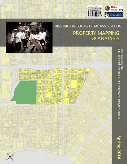
Historic Faubourg Tremé Association Mapping & Analysis
WhoData.org and University of New Orleans
(2014)
Abstract
The "Historic Faubourg Tremé Association Mapping & Analysis" is a continuation of public participation geographic information systems (PPGIS) work started with WhoData.org in spring 2014. The mapping of on-the-ground property conditions with City designated blight provides the HFTA Land Use Committee with additional resources to develop and deploy plans to revitalize the whole of Tremé. The maps and analysis were completed by the University of New Orleans Department of Planning & Urban Studies students in MURP 4081/5081 Information Technology for the Planning Profession.
Keywords
- public participation geographic information systems,
- economic development,
- neighborhood
Disciplines
Publication Date
Spring July, 2014
Citation Information
Michelle M Thompson, Laura Banos, Jasmine Bazley, Xiaoxu Chen, et al.. "Historic Faubourg Tremé Association Mapping & Analysis" WhoData.org and University of New Orleans (2014) Available at: http://works.bepress.com/michelle_m_thompson/53/