
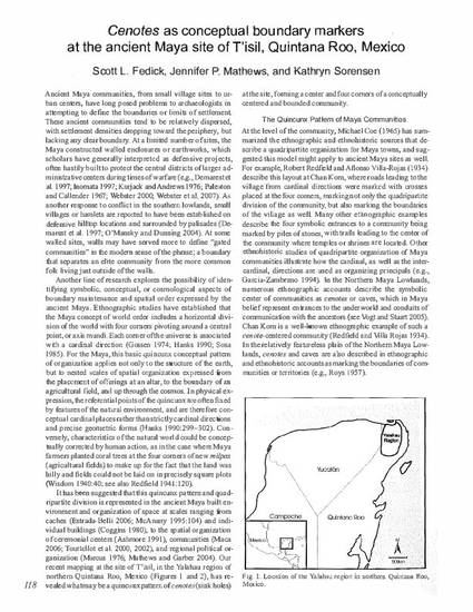
Ancient Maya communities, from small village sites to urban centers, have long posed problems to archaeologists in attempting to define the boundaries or limits of settlement. These ancient communities tend to be relatively dispersed, with settlement densities dropping toward the periphery, but lacking any clear boundary. At a limited number of sites, the Maya constructed walled enclosures or earthworks, which scholars have generally interpreted as defensive projects, often hastily built to protect the central districts of larger administrative centers during times of warfare (e.g., Demarest et al. 1997; Inomata 1997; Kurjack and Andrews 1976; Puleston and Callender 1967; Webster 2000; Webster et al. 2007). As another response to conflict in the southern lowlands, small villages or hamlets are reported to have been established on defensive hilltop locations and surrounded by palisades (Demarest et al. 1997; O'Mansky and Dunning 2004). At some walled sites, walls may have served more to define "gated communities" in the modern sense of the phrase; a boundary that separates an elite community from the more common folk living just outside of the walls.